Log in
All resources
Create a design
183,459 Free Images of Maps With Figures
maps made in the 17th century
oil on canvas
atlantis magni tomus secundus (biblioteca comunale di trento)
maps by pieter schenk (i)
fonds ancely - bibliothèque municipale de toulouse - maps
atlantis magni tomus tertius (biblioteca comunale di trento)
portrait
gerard valck
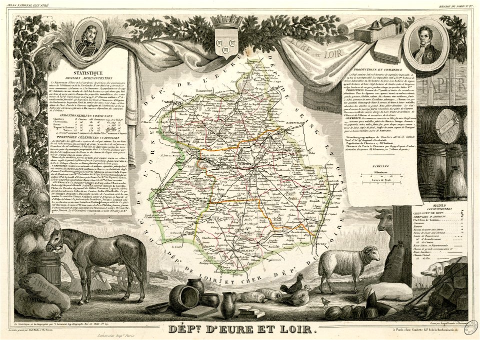
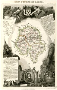
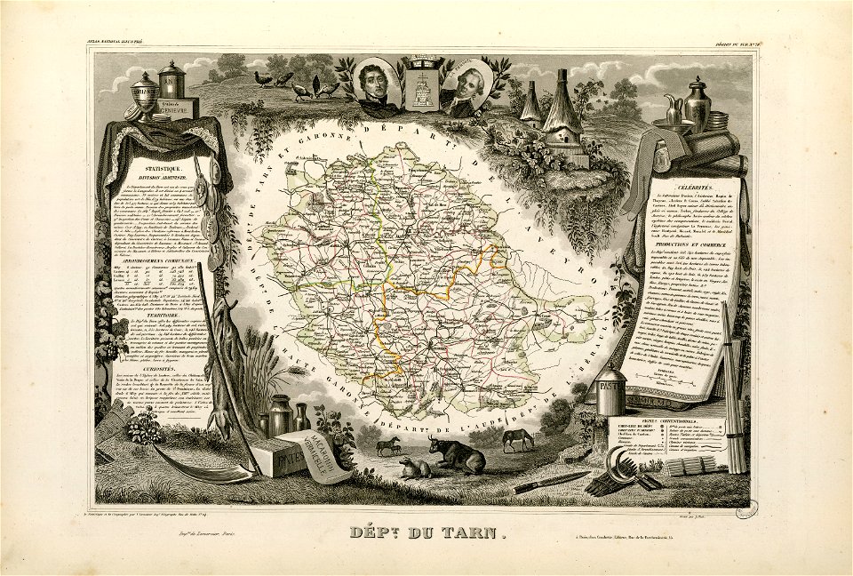
victor levasseur - maps of france
neoclassicism
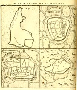
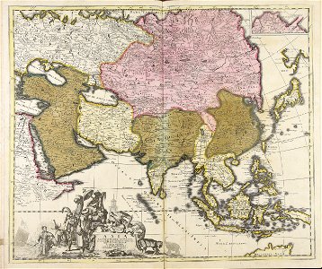
18th-century maps of china
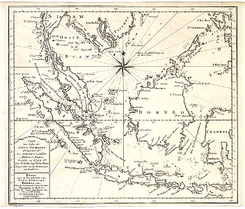
18th-century maps of asia
paintings by paolo veronese in the kunsthistorisches museum
mannerism,veronese school,high renaissance,venetian school
battle flags of brazil
neoclassicism
portrait of catherine ii (fedor rokotov (?) - hermitage, эрж-3283)
rococo
1827 works in the united states
1827 in baltimore
paintings by boris kustodiev with fur
self-portraits by boris kustodiev
portraits of marshals of the empire (series commissioned by napoleon i)
jacques augustin pajou
paintings by domingos sequeira
neoclassicism
ramón satué (goya - rijksmuseum amsterdam)
romanticism,rococo
anne baptiste nivelon
rococo
atlas maior, vol 11 (asia) - joan blaeu, 1667 - bl 114.h(star).11
1660s maps of china
cicero denounces catiline
neo-pompeian
post-impressionism,pont-aven school,symbolism,synthetism,cloisonnism,impressionism,primitivism
still life with profile of laval (paul gauguin)
the garden of earthly delights
people with fruits in art
engravings after parmigianino
military helmets in art
old maps of the saint lawrence river
old maps of new england
university of toronto wenceslas hollar digital collection
hollar maps and plans of london
popular science monthly illustrations/volume 13
drainage basin maps of north america
ardennes (belgium)
gallia belgica
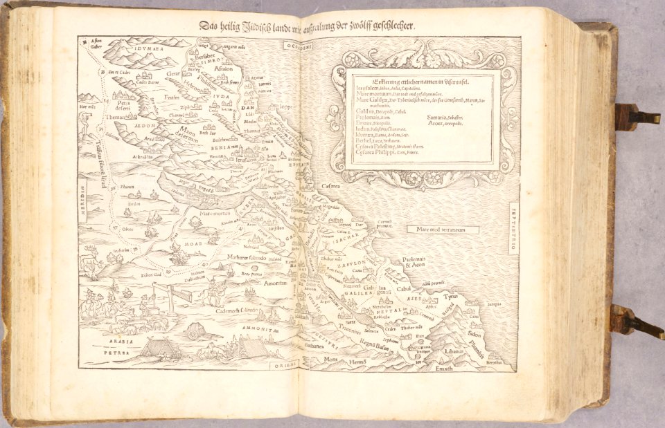
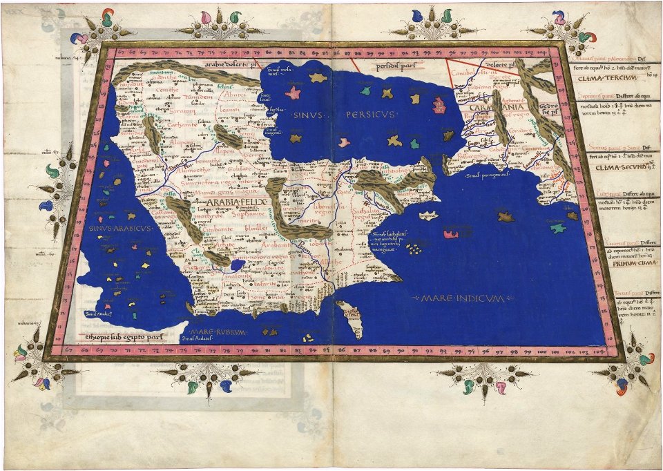
holy land
israelite
cornell university library
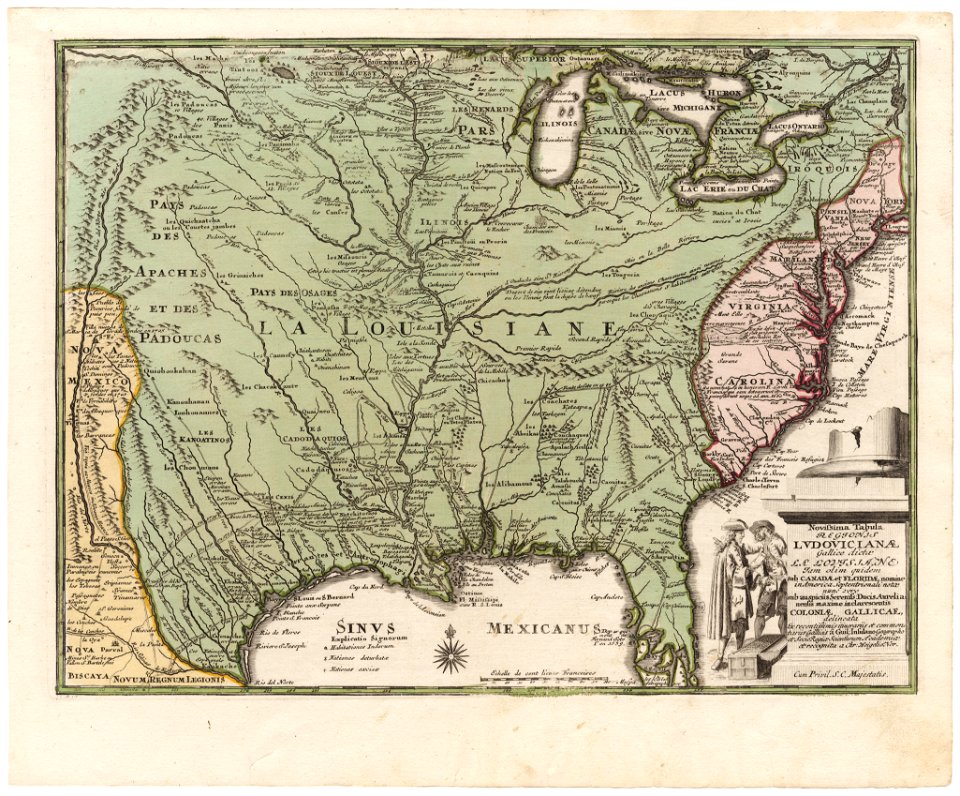
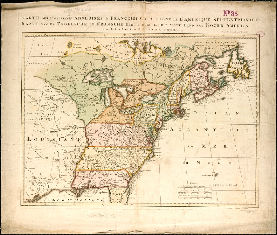
old maps of louisiana
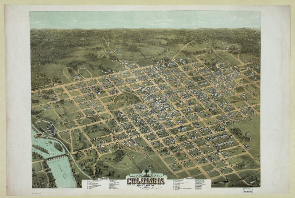
south carolina in the 19th century
columbia
south carolina in the 19th century
columbia
atlas van der hagen
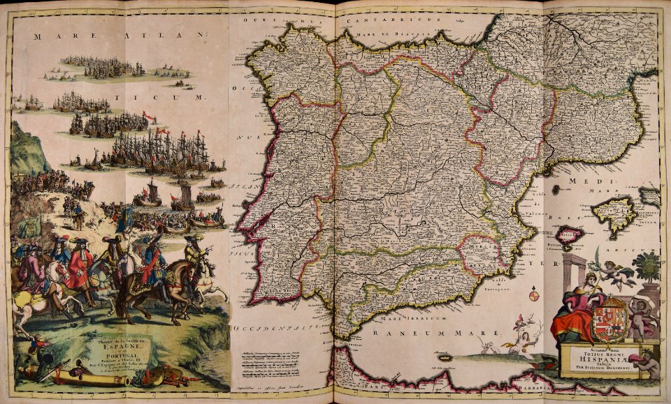
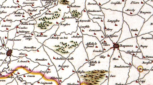
old maps of france
hatched coats of arms
johann baptist homann
maps made in the 17th century
gerard valck
kunshan in
suzhou
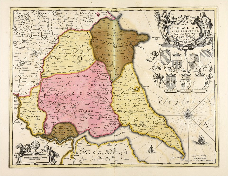
maps made in the 17th century
gerard valck
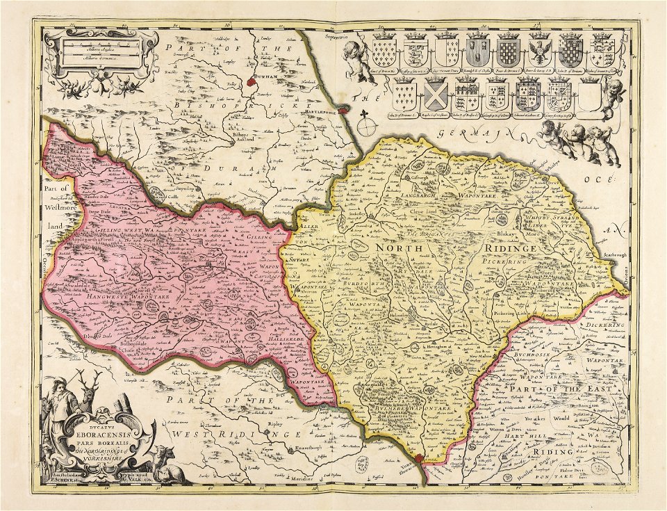
maps made in the 17th century
gerard valck
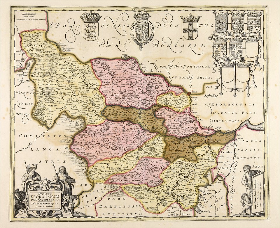
maps made in the 17th century
gerard valck
fonds ancely - bibliothèque municipale de toulouse - maps
frédéric-auguste laguillermie
fonds ancely - bibliothèque municipale de toulouse - maps
old maps of aube
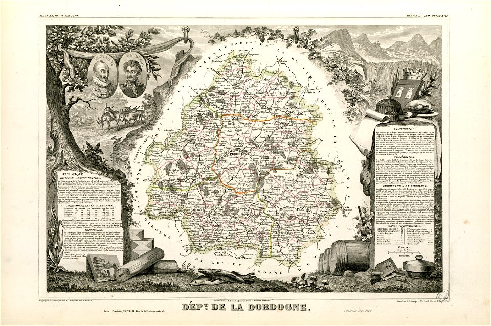
coats of arms of cities in dordogne
pierre daumesnil
fonds ancely - bibliothèque municipale de toulouse - maps
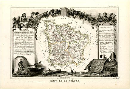
coats of arms of cities in nièvre
frédéric-auguste laguillermie
portraits of rené descartes
fonds ancely - bibliothèque municipale de toulouse - maps
jean-de-dieu soult
maps from the mechanical curator collection
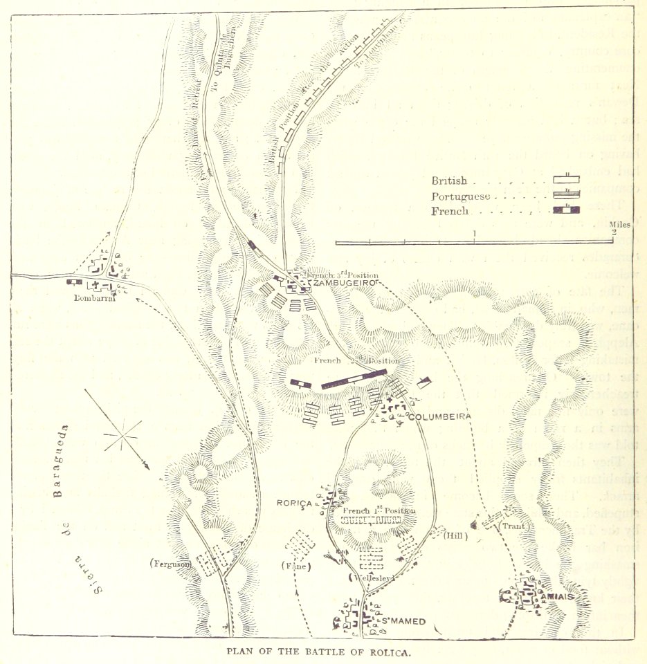
british battles on land and sea
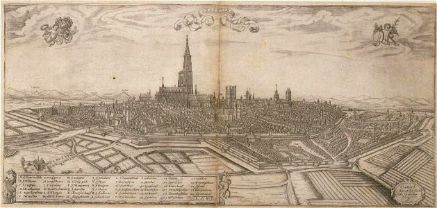
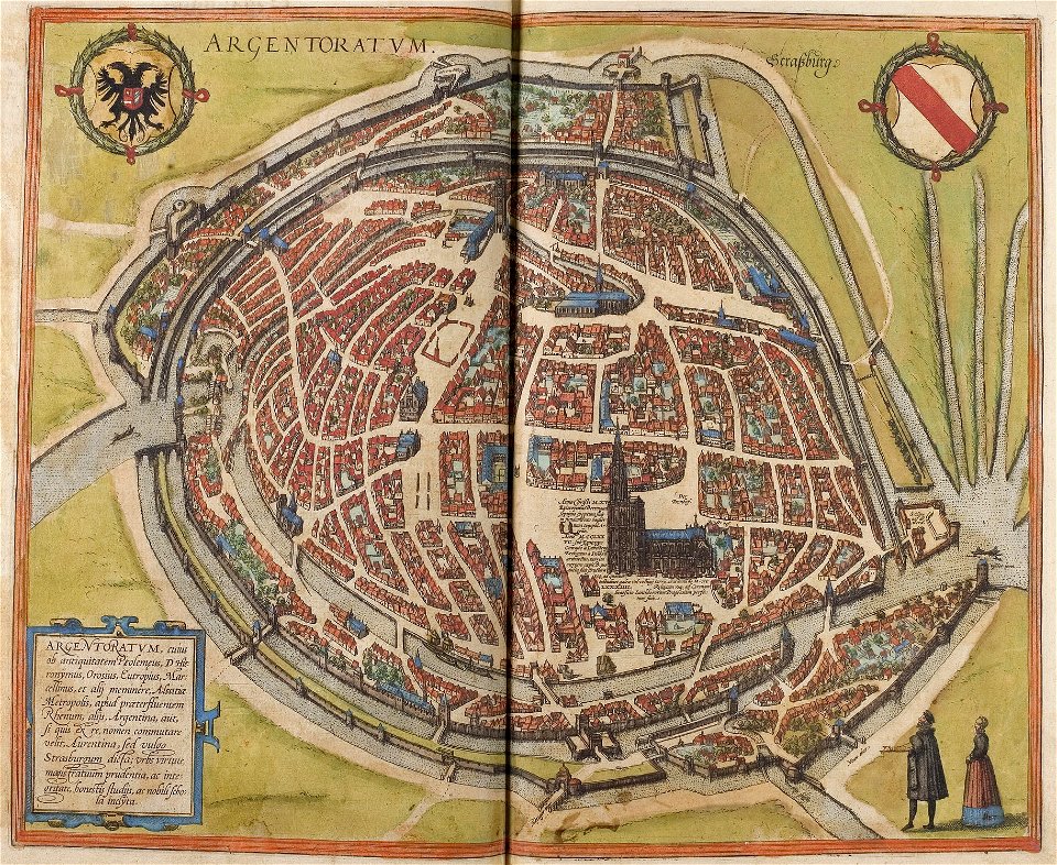
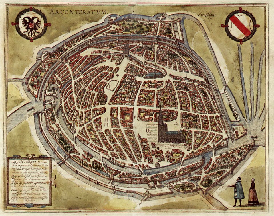
historical remote views of strasbourg
16th-century maps of strasbourg
maps made in the 17th century
gerard valck
maps made in the 17th century
gerard valck
great britain
north sea
maps by willem and johannes blaeu
maps made in the 17th century
norway, sweden, and denmark- with excursions to iceland and spitzbergen; handbook for travellers (1909)
maps of skansen
portrait paintings by gilbert stuart
neoclassicism
portrait paintings by françois de troy (house of bourbon)
female portrait paintings by françois de troy
portrait paintings in the musée des beaux-arts d'orléans
ambroise-marguerite bardin
prints from selden mare clausum at the peace palace library
1636 maps of england
maps by matthäus seutter
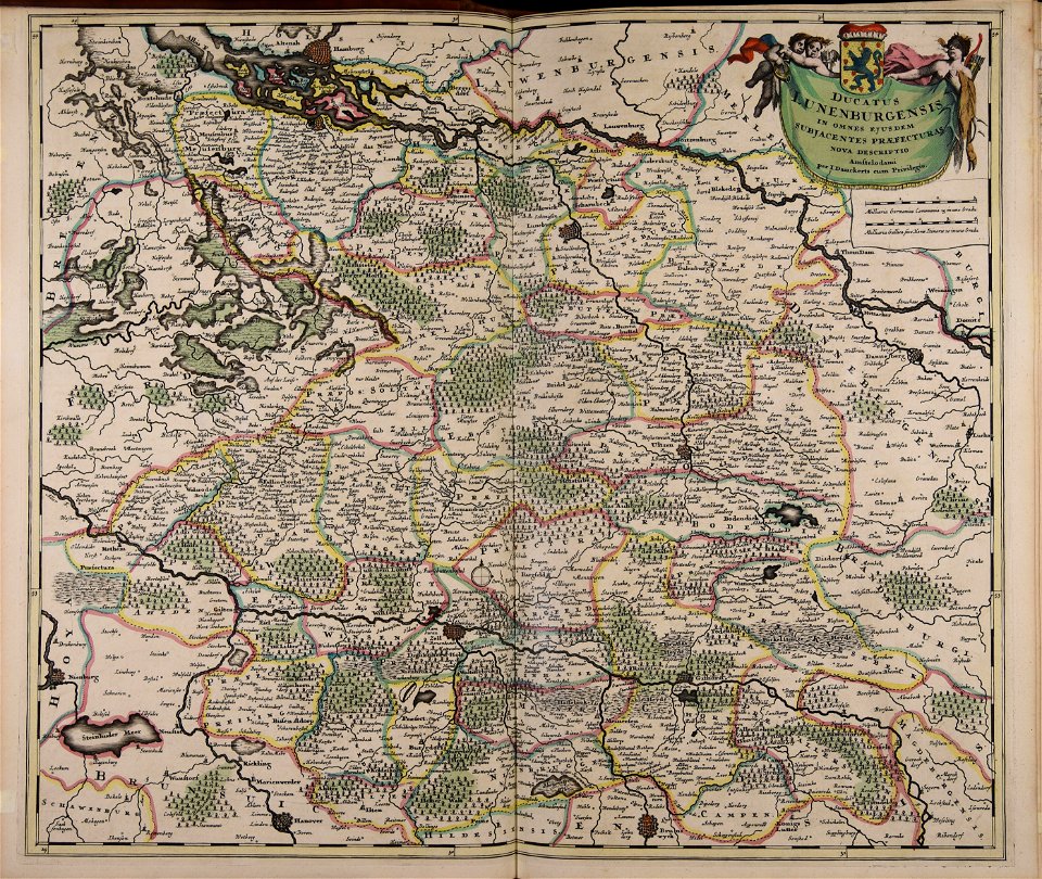
history of celle
french colonization in africa
military maps
bird's eye view maps of boston
boston
bird's eye view maps of boston
boston
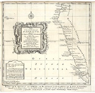
topographic maps of africa
maps in literature
atlantis magni tomus tertius (biblioteca comunale di trento)
maps made in the 17th century
university of toronto wenceslas hollar digital collection
maps by wenzel hollar
atlantis magni tomus quintus (biblioteca comunale di trento)
18th-century maps of asia
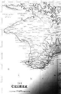
old maps of crimea
1856 maps
atlantis magni tomus quartus (biblioteca comunale di trento)
maps made in the 17th century
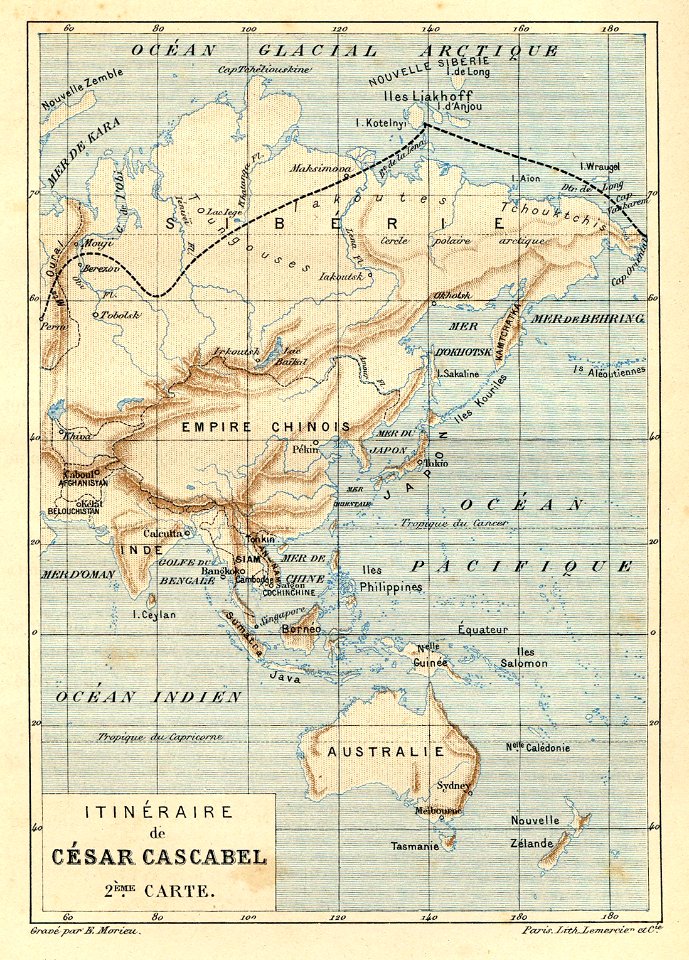
illustrations from césar cascabel by george roux
césar cascabel
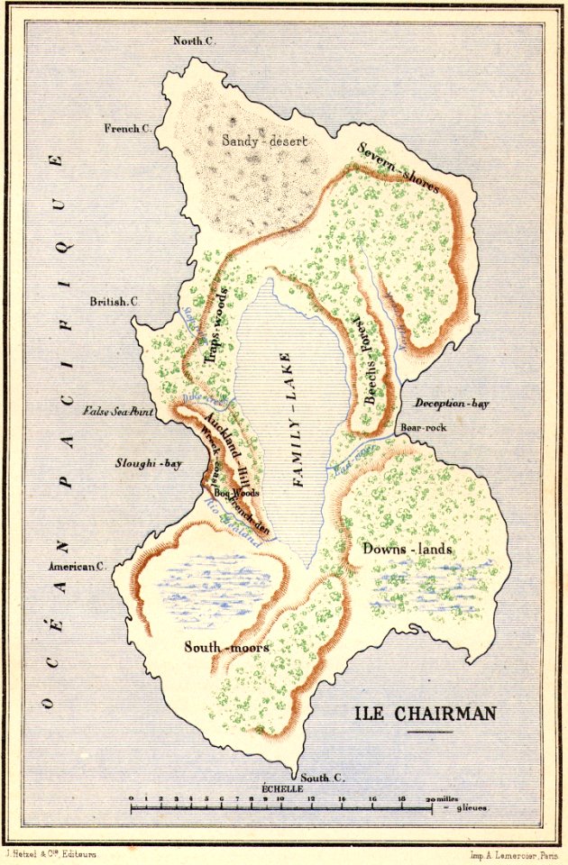
maps of fictional islands
maps in literature
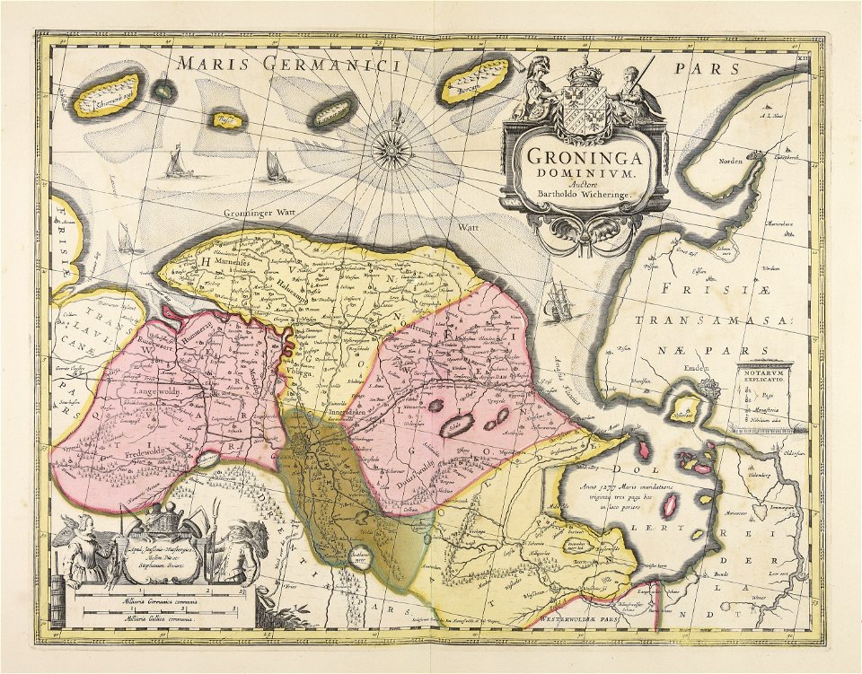
old maps of zeeland
atlas van der hagen
atlas van der hagen
old maps of france
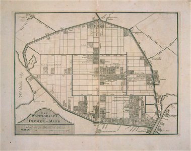
watergraafsmeer
diemen
watergraafsmeer
diemen
maps of strasbourg in the 16th century
braun & hogenberg
maps of strasbourg in the 16th century
braun & hogenberg
17th-century maps of the caribbean
1622
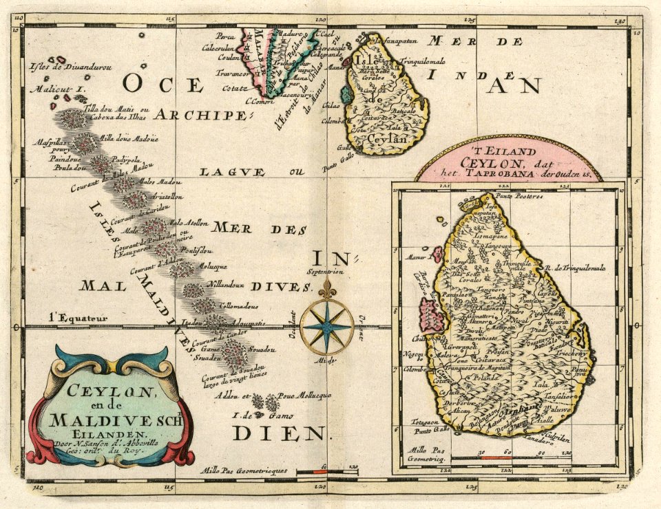
maps of the dutch east india company - sri lanka
1705
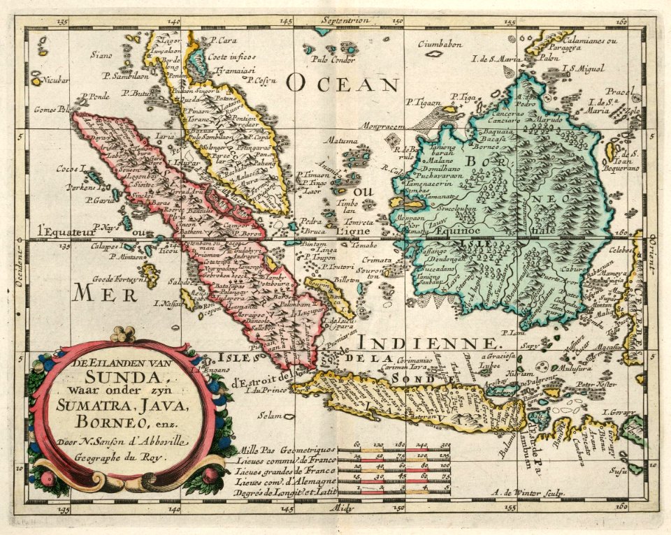
maps of the dutch east india company - indonesia
1705
maps of the west-indische compagnie
1644
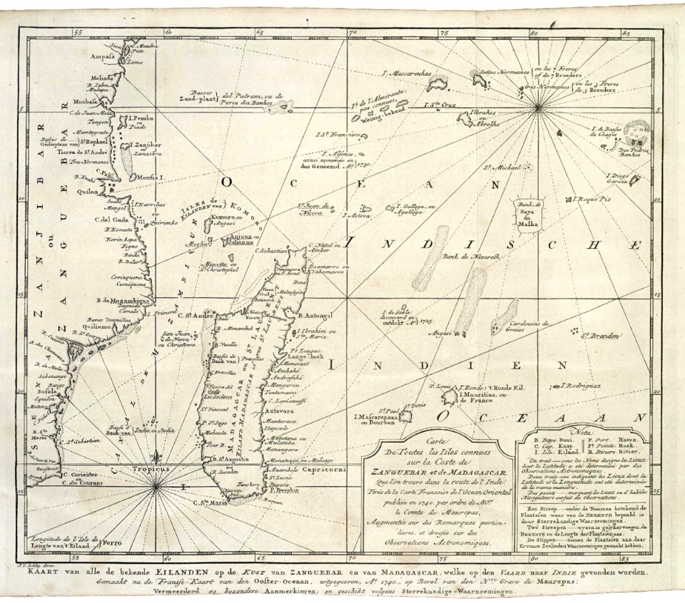
maps of the dutch east india company - madagascar
1747)
maps of the dutch east india company - indonesia
1747)
old maps of the dutch east india company
1747)
atlas de wit 1698
frederick de wit
old maps of the holy land
old maps of palestine
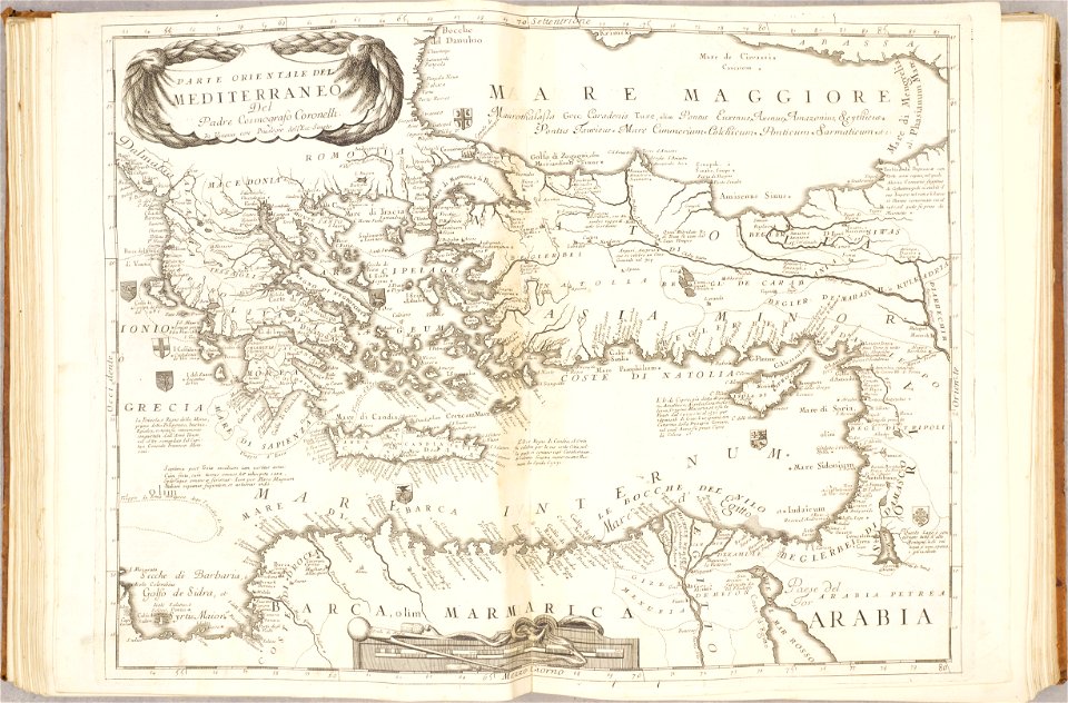
old maps of mediterranean sea
levantine sea
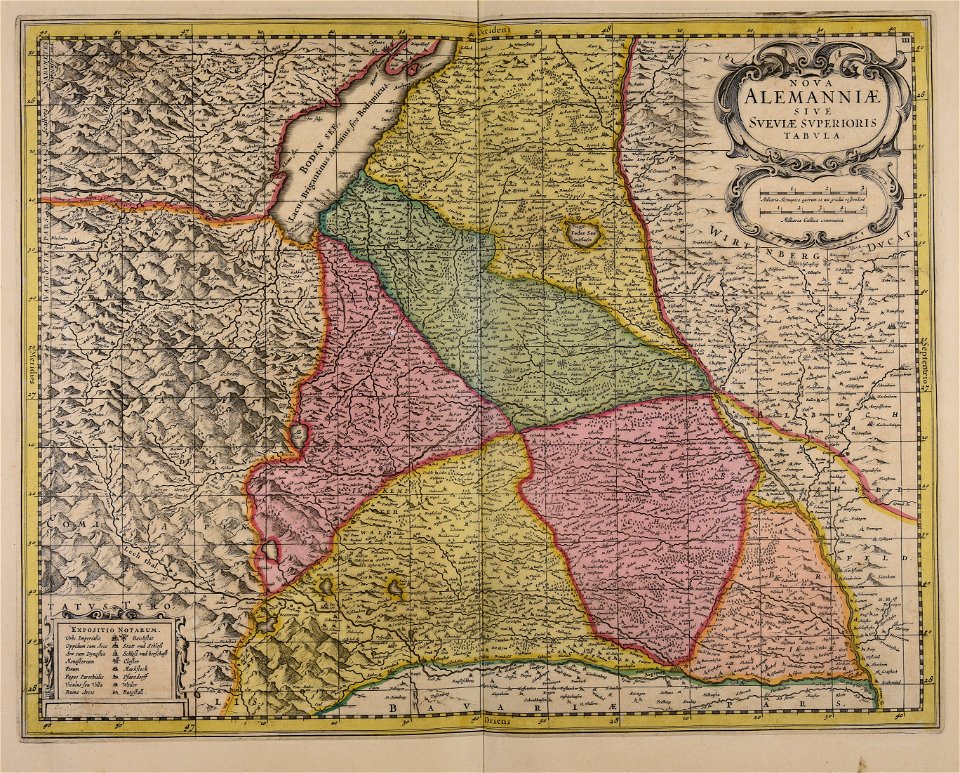
19th-century maps of bavaria
wertach river in augsburg
amsterdam
ij
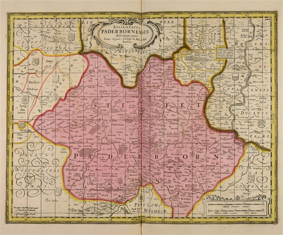
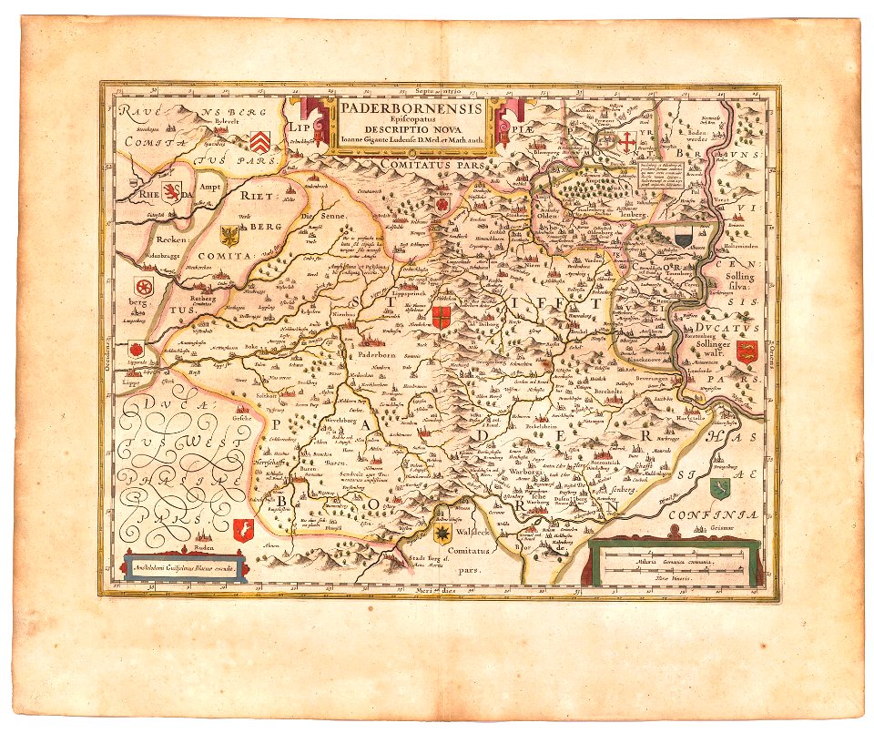
old maps of prince-bishopric of paderborn
atlas novus (blaeu)
old maps of japan
old maps of korea
middle ages in france
alexandre du mège
old maps of north america from the norman b. leventhal map center
1755 maps of the united states
atlantis magni tomus secundus (biblioteca comunale di trento)
maps made in the 17th century
maps made in the 17th century
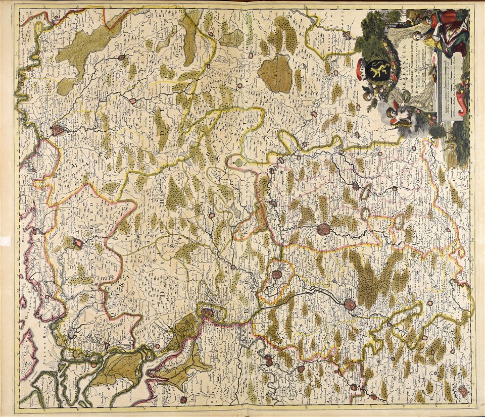
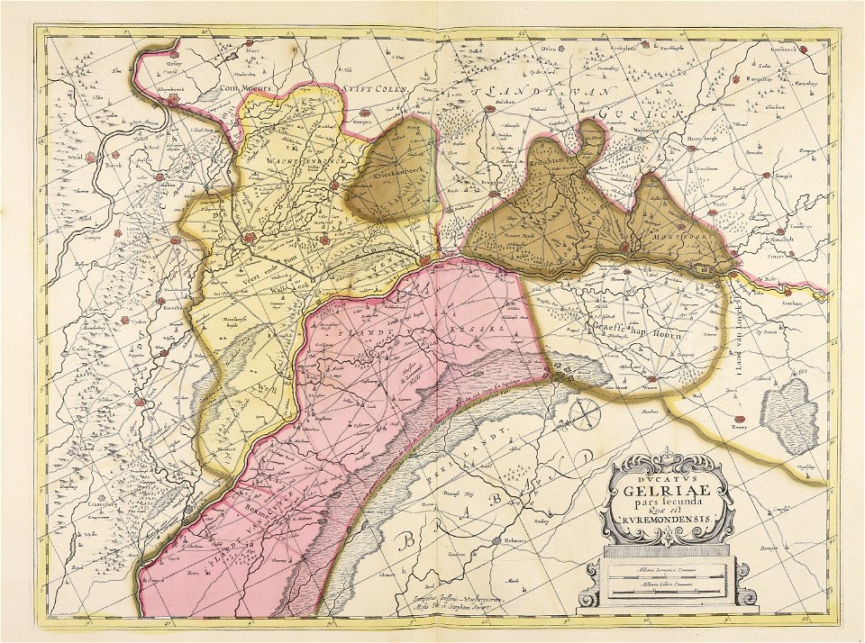
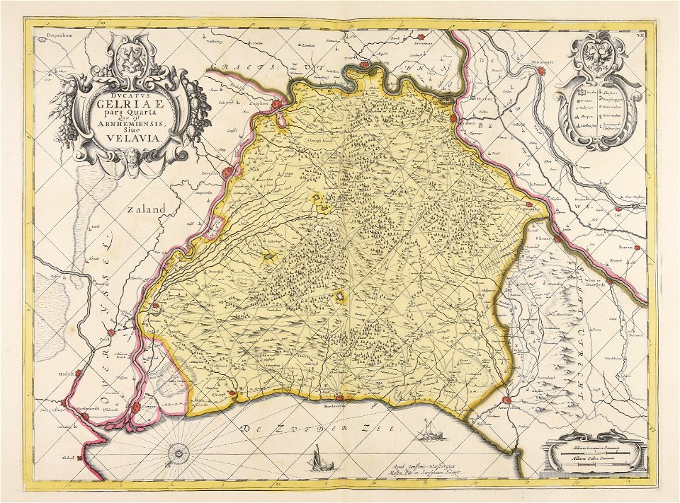
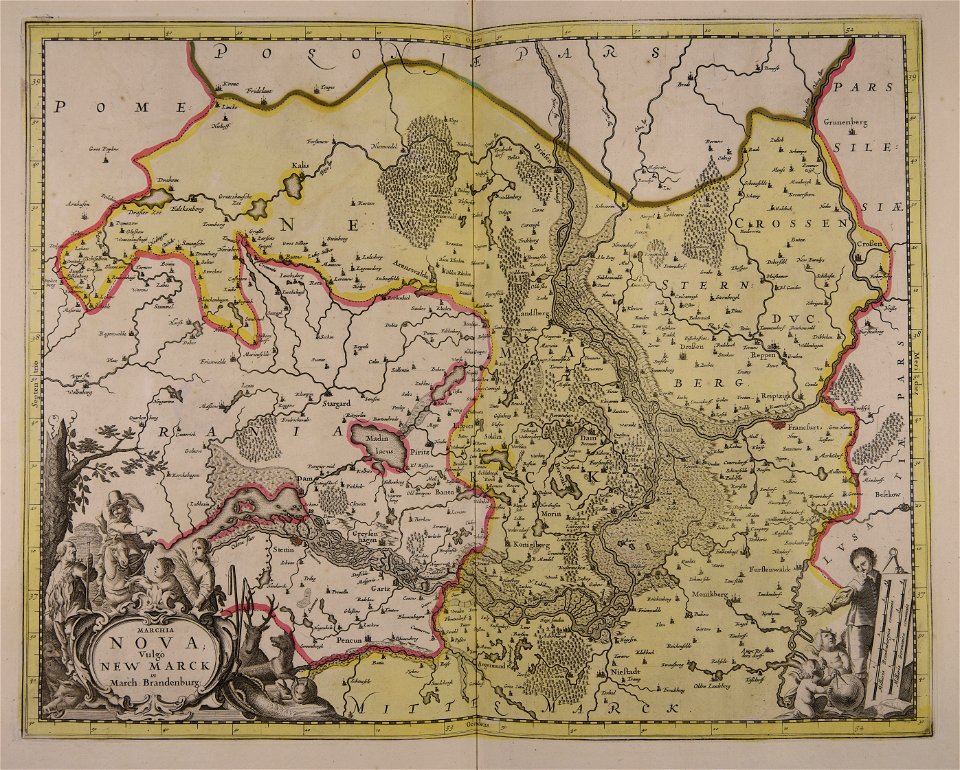
old maps of gelderland
maps made in the 17th century
old maps of gelderland
maps made in the 17th century
old maps of gelderland
atlantis magni tomus tertius (biblioteca comunale di trento)
maps made in the 17th century
atlantis magni tomus tertius (biblioteca comunale di trento)
maps made in the 17th century
media from national cancer institute visuals online
maps of the united states
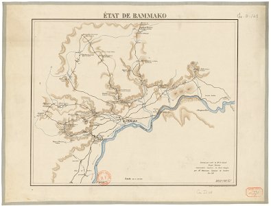
bamako in the 1880s
military maps
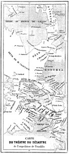
john franklin's lost expedition
volume 1 of le tour du monde
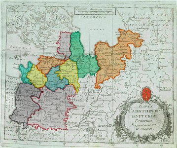
small atlas of the russian empire (1792)
maps of saint petersburg governorate
maps by jacob van deventer
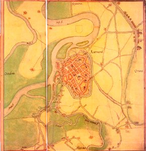
old maps of roermond
atlantis magni tomus tertius (biblioteca comunale di trento)
maps made in the 17th century
hand-drawn maps and views of world war i battlefields by h.m.
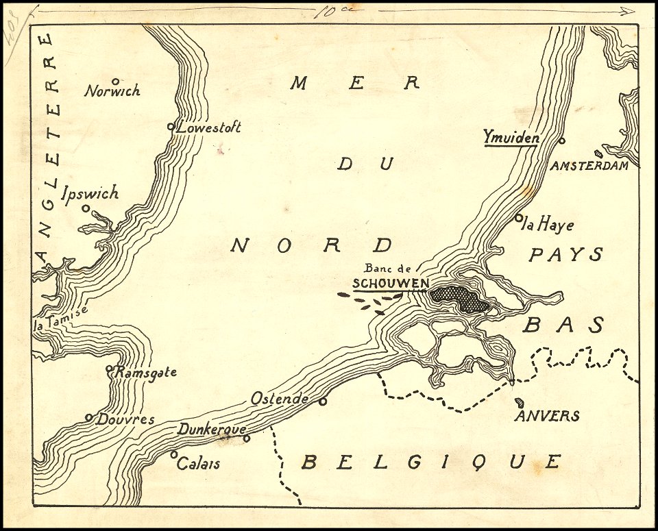
old maps of the english channel
atlantis magni tomus secundus (biblioteca comunale di trento)
maps made in the 17th century
atlantis magni tomus tertius (biblioteca comunale di trento)
maps made in the 17th century
persian gulf naming dispute
latin-language maps
atlantis magni tomus secundus (biblioteca comunale di trento)
maps made in the 17th century
travels in various countries of europe
asia and africa
maps in the library of congress
california
5501 - 5600 of 183,459
Next page
/ 1835